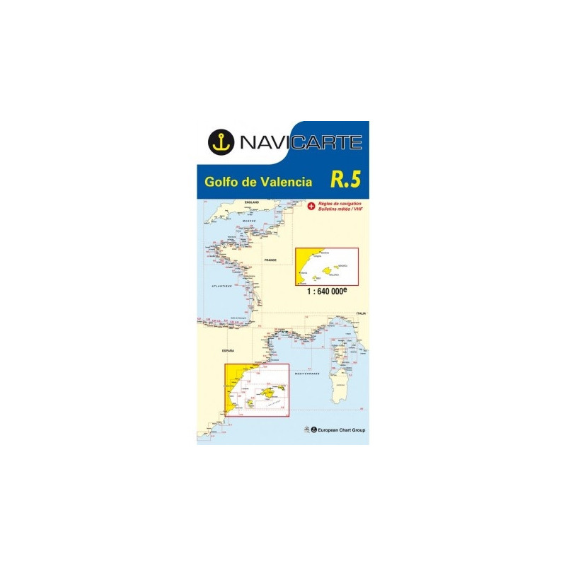
Marine Chart Navicarte R5 – Valencian Gulf
The Marine Chart Navicarte R5 is your reliable, large‑area paper chart for confident passage planning across the Valencian Gulf, covering the busy corridor from Barcelona to Alicante with approaches to the Balearic Islands. Designed for clear overview navigation and quick decision‑making, it delivers crisp symbology, metric soundings, and up‑to‑date coastal information so you can plan routes, identify hazards, and brief your crew at a glance. Choose the R5 to complement your onboard electronics with a trustworthy, GPS‑ready reference that keeps you in control during every stage of your voyage with Stratosens.com.
Key Benefits and Applications
- Effortless passage planning — The wide‑coverage sheet simplifies long‑leg route design, weather window planning, and fuel estimation for crossings between mainland Spain and the Balearic Islands.
- Immediate situational awareness — Clear depiction of coasts, headlands, and offshore hazards helps you verify your position at a glance and brief crew on upcoming waypoints and landfalls.
- Reliable data you can trust — Compiled from authoritative hydrographic sources, the chart supports safe decision‑making when electronics fail or signals drop.
- Optimised for GPS navigation — WGS 84 compatibility makes it easy to plot positions from your receiver and maintain an independent, paper‑based track of your voyage.
- Ideal backup to plotters — A robust paper reference for contingency navigation, emergency drills, and compliance with good seamanship practices.
- Chart‑table friendly format — Folds neatly for quick handling on deck and expands to a generous planning surface when you need the full picture.
Featured technical specifications
- Cruising area — Valencian Gulf overview including the mainland arc from Barcelona to Alicante with approaches to the Balearic Islands, suitable for coastal and offshore passage planning.
- Scale — 1:640 000 for strategic, long‑range overview and leg planning between major waypoints.
- Geodetic reference — WGS 84 projection for seamless plotting of GPS positions and routes.
- Hydrographic source — Produced from official hydrographic data to ensure accurate coastlines, soundings, aids to navigation, and hazards.
- Depth units — Soundings and contours expressed in metres in accordance with international metric practice.
- Sheet size (folded) — Approximately 16.5 cm × 31.5 cm for compact stowage and quick access at the helm.
- Sheet size (unfolded) — Approximately 82 cm × 63 cm to provide a generous working area for route plotting and crew briefing.
- Navigation content — Coastal outlines, bathymetric contours, selected lights and beacons, danger areas, recommended routes, and principal port approaches for planning.
- Chart standards — Conforms to international charting conventions and buoyage used in the region, supporting consistent interpretation alongside onboard publications.
- Update philosophy — Periodically revised editions integrate new hydrographic findings and regulatory changes to keep your planning information current.
Why this chart is the perfect choice
Backed by expert selection and dedicated support from Stratosens.com, the Navicarte R5 offers the ideal balance of broad coverage, readable design, and dependable metric data for voyages across the Valencian Gulf and toward the Balearic Islands. Order with confidence at Stratosens.com to equip your chart table with a precise, GPS‑ready reference that elevates safety, planning efficiency, and seamanship on every mile you sail.














 Payments 100% Safe
 Delivery in 5-7 labour days
 Money back Guarantee