












- New

Your Meteorology and Precision Instrumentation shop
Your Meteorology and Precision Instrumentation shop
 Payments 100% Safe
 Delivery in 5-7 labour days
 Money back Guarantee
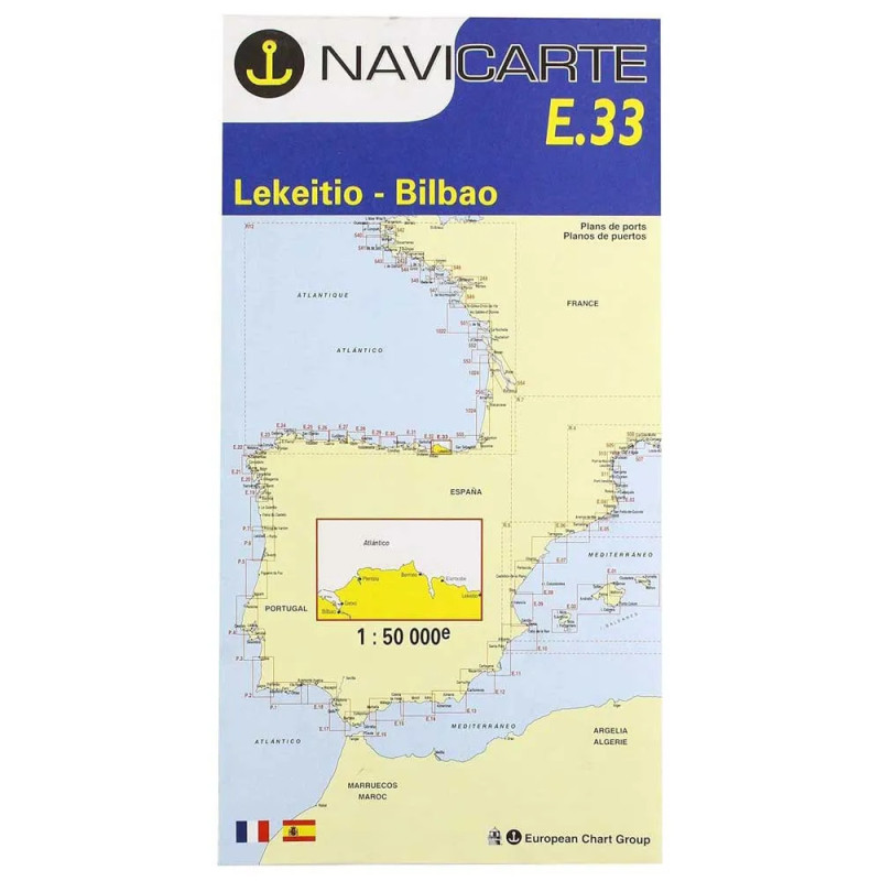
Master the Basque coastline between Lekeitio and Bilbao with a chart built for clarity, safety and speed of decision-making. The Navicarte E33 provides focused coastal coverage from Lekeitio to Bilbao, with depth soundings in metres, high‑contrast symbology and IALA Region A buoyage to keep your course precise in variable Atlantic conditions. Printed on durable, water‑resistant chart stock, it is ideal as a primary paper reference and an essential backup to onboard electronics. Plan coastal passages, refine fishing routes and approach harbours confidently using clear contouring, hazards and navigation marks, all curated for dependable use at sea and backed by the expert team at Stratosens.com.
Selecting the Navicarte E33 from Stratosens.com means choosing professional guidance, meticulous product selection and dependable after‑sales support. You benefit from a chart tailored to the specific demands of the Lekeitio–Bilbao stretch, delivered with the quality assurance and technical know‑how that define Stratosens.com. Equip your vessel with confidence and keep your crew safer with a chart that is clear, durable and ready for real‑world use.
No customer reviews for the moment.