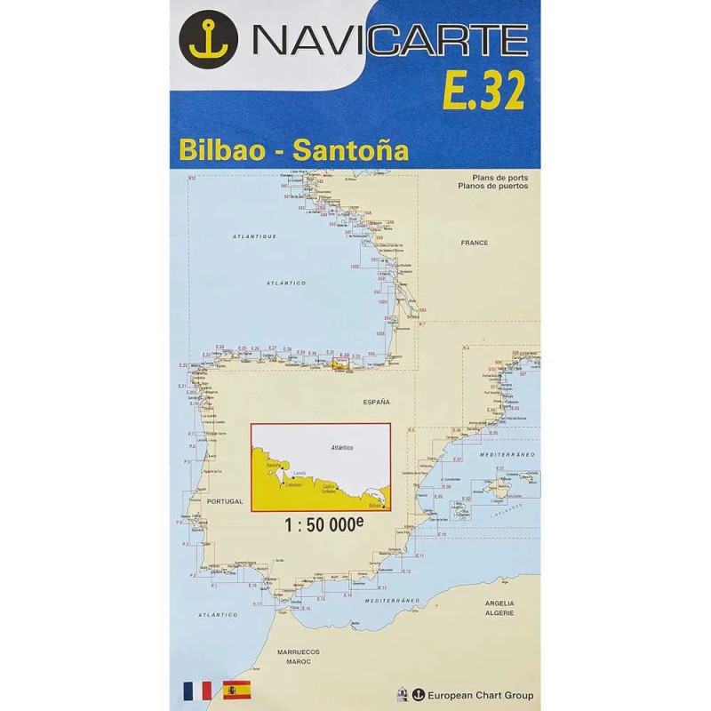
Marine Chart Navicarte E32 – Bilbao, Santoña
Navigate the Cantabrian coast with confidence using the Marine Chart Navicarte E32 – Bilbao, Santoña, a professional-grade paper chart that delivers crisp coastal detail from the approaches to Bilbao to the protected waters around Santoña. Its high-contrast cartography, soundings in metres (m) and clearly depicted coastal features make route planning and pilotage intuitive, whether you sail, cruise by motor, or work alongshore. Designed as a dependable partner to electronics, this chart offers rapid symbol recognition, practical harbour approach insets and a durable, water‑resistant finish for cockpit use. Choose it at Stratosens.com to equip your boat with a chart you can trust in any passage plan.
Key Benefits and Applications
- Confident coastal navigation – Clear shoreline detail, depth contours and prominent landmarks help you visualise the Bilbao–Santoña coastline at a glance and make safer course decisions.
- Faster, safer approaches – Harbour and entrance insets highlight breakwaters, channels and anchorages so you can brief the crew and line up transits with precision when entering new ports.
- Built for the cockpit – A water‑resistant, tear‑resistant finish withstands spray and repeated folding, ideal for open-deck use during manoeuvres and checks.
- GPS‑friendly planning – A clear latitude–longitude grid simplifies transferring waypoints from your plotter and cross‑checking your track with traditional methods.
- Reliable backup to electronics – Paper never runs out of battery. Use it to verify your screen data, maintain situational awareness and continue navigating if power or signals fail.
- Perfect for training and charter – Its readable layout and metric soundings support sailing schools, delivery crews and charter skippers who need fast, accurate briefings.
Featured technical specifications
- Geographic coverage – Focused on the northern coast of Spain between Bilbao and Santoña, including principal approaches, headlands and nearshore hazards across the Bay of Biscay sector.
- Depth information – Soundings and bathymetric contours presented in metres for straightforward interpretation with European standards and onboard echo sounders.
- Coordinate grid – Latitude–longitude grid with clear graduations to aid waypoint plotting, cross‑bearing fixes and dead‑reckoning updates.
- Aids to navigation – Lights, buoys and beacons are depicted with their characteristics and sectors to support day and night pilotage.
- Harbour and approach insets – Detailed plans improve situational awareness when entering key ports and anchorages within the chart’s coverage.
- Scale and use – Coastal‑scale cartography optimised for inshore routing, approach planning and coastal cruising, complementing larger‑scale harbour plans on board.
- Printing and finish – High‑contrast inks on a water‑resistant, write‑on surface suitable for pencil and fine‑tip markers, allowing clean corrections and course lines.
- Legends and symbology – Internationally recognised chart symbols with concise legends to speed up identification of coastal features and safety information.
- Reference – Navicarte series identifier E32 for easy filing and quick retrieval within your navigation folio.
Why this chart is the perfect choice for your Bilbao–Santoña passages
Choosing the Navicarte E32 at Stratosens.com means you get a carefully curated, professional marine chart backed by expert support in weather and precision instruments. We prioritise accurate, readable cartography, protective packaging for safe delivery and responsive assistance so you can plan, brief and sail with confidence. Equip your nav table with the E32 and enjoy dependable, metric‑based information exactly where you need it most.














 Payments 100% Safe
 Delivery in 5-7 labour days
 Money back Guarantee