










To give you the best possible experience, this site uses cookies. Using your site means your agree to our use of cookies. We have published a new cookies policy, which you should need to find out more about the cookies we use. View Cookies Policy.
Buy Marine Binoculars Levenhuk Nelson 7x50 - Stratosens.comMarine Binoculars Levenhuk Nelson 7x50
  • New
€189.95
Buy Monocular Levenhuk Wise Pro 10x50 - Stratosens.comMonocular Levenhuk Wise Pro 10x50
  • New
€129.95
Buy Spotting Scope Levenhuk Blaze Plus 90 - Stratosens.comSpotting Scope Levenhuk Blaze Plus 90
  • New
€319.95
Buy Digital Monocular Levenhuk Kelvin Snap ED 8x42 - Stratosens.comDigital monocular Levenhuk Kelvin Snap ED 8x42
  • New
Buy Digital Monocular Levenhuk Kelvin Snap 8x25 - Stratosens.comDigital monocular Levenhuk Kelvin Snap 8x25
  • New
€159.95
  • New
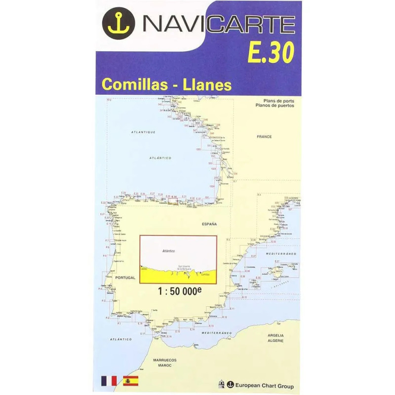
Marine Chart Navicarte E30 - Comillas, Llanes

Marine Chart Navicarte E30 - Comillas, Llanes

Review (0)
€24.95
Tax Included
Delivery in 5-7 labour days
Quantity :
  • Payments 100% SafePayments 100% Safe
  • Delivery in 5-7 labour daysDelivery in 5-7 labour days
  • Money back GuaranteeMoney back Guarantee

Marine Chart Navicarte E30 – Comillas, Llanes | Precise Coastal Navigation for the Cantabrian Sea

Navigate the rugged Cantabrian coastline with confidence using the Navicarte E30 marine chart for Comillas and Llanes. Designed for sailors, cruisers and professional skippers who demand clarity and reliability, this chart delivers metre‑based soundings, clear coastal detail and up‑to‑date international symbology. From planning a weekend passage to executing a safe harbour approach, the E30 provides the essential information you need, all in a format that is easy to read in the cockpit and practical to use alongside your onboard electronics. Available with expert service from Stratosens.com.

Key Benefits and Applications

  • Confident coastal navigation — Read coastlines, headlands and hazards at a glance to plan precise routes between Comillas and Llanes, reducing uncertainty when visibility or sea state complicate decisions.
  • Safe harbour approaches — Approach marinas and anchorages with clear depiction of leading lines, lights and depth contours, helping you choose the right window for entry and exit.
  • Clear, intuitive symbology — Internationally standardised symbols keep the chart instantly understandable, speeding up interpretation during tight manoeuvres or when single‑handed.
  • Reliable backup for electronics — Maintain full situational awareness if plotters or tablets fail, ensuring you always have a trusted, non‑powered reference on deck.
  • Enhanced passage planning — Assess distances, bearings and safe water under keel with metre‑based soundings and contouring, supporting fuel management, timing and crew planning.
  • Versatile for sailing and fishing — Use bathymetry, seabed notes and coastal features to select productive grounds, sheltered anchorages and comfortable routes in prevailing conditions.

Featured technical specifications

  • Coverage focus — Cantabrian Sea coastline centred between Comillas and Llanes in northern Spain, tailored for short coastal passages and local cruising.
  • Soundings in metres — Depths and contouring expressed in metres for precise under‑keel calculations consistent with European practice.
  • Geodetic datum — WGS 84 datum for seamless alignment with GNSS receivers and modern navigation systems.
  • Projection — Mercator projection optimised for coastal navigation and accurate bearing plotting with parallel rulers or a course plotter.
  • Aids to navigation — Lateral and cardinal marks depicted to IALA Region A standards with light characteristics for night and low‑visibility sailing.
  • Bathymetry and hazards — Depth contours, rock symbols, wrecks and obstructions clearly shown to support route selection and risk mitigation.
  • Coastal detail — Headlands, beaches, estuaries and shoreline construction rendered with high contrast for quick position fixes by visual bearings.
  • Tidal and current cues — Charted information and notes guide the interpretation of local tidal effects during planning and execution.
  • Chartwork friendly layout — Clean grid and scale bars enable rapid distance, time and speed calculations using SI units.
  • Durable print quality — Marine‑grade finish designed for frequent cockpit handling and repeated folding during active passage making.

Why this chart is the perfect choice

Combining clarity, practicality and metric accuracy, the Navicarte E30 helps you make faster, safer decisions along one of Spain’s most characterful stretches of coast. Order from Stratosens.com to benefit from specialist support, careful packaging and a curated selection of complementary navigation tools that complete your chart table with professional reliability.

105121230

No customer reviews for the moment.

Write your review
Marine Chart Navicarte E30 - Comillas, Llanes
Buy Marine Chart Navicarte E30 - Comillas, Llanes - Stratosens.com

Marine Chart Navicarte E30 - Comillas, Llanes

€24.95
Tax Included
Delivery in 5-7 labour days