












- New

Your Meteorology and Precision Instrumentation shop
Your Meteorology and Precision Instrumentation shop
 Payments 100% Safe
 Delivery in 5-7 labour days
 Money back Guarantee
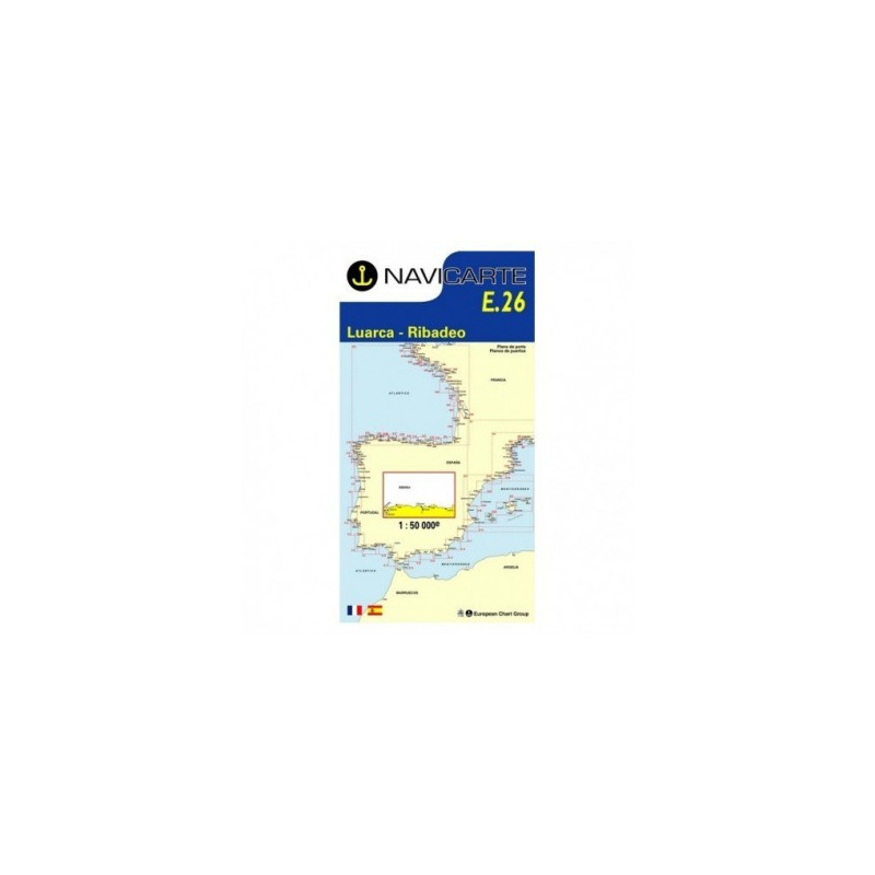
Navigate Spain’s rugged Cantabrian coast with confidence using the Navicarte E26 marine chart, covering the strategic stretch from Luarca to Ribadeo. Designed for coastal cruising, fishing and passage planning, this chart delivers clear symbology, precise coastal detail and metric soundings in metres so you can make timely decisions at sea. Its high contrast colouring and legible typography enhance readability in bright sun or low light, while the robust marine-grade paper stands up to cockpit use. Choose a reliable, professional chart that keeps your route, approaches and anchorages at your fingertips.
Selecting the Navicarte E26 at Stratosens.com means you get a carefully curated chart that balances precision, durability and ease of use for this demanding stretch of coast. Count on Stratosens.com for expert product selection, secure packaging and attentive support so your chart arrives ready to guide your next passage with confidence.
No customer reviews for the moment.