












- New

Your Meteorology and Precision Instrumentation shop
Your Meteorology and Precision Instrumentation shop
 Payments 100% Safe
 Delivery in 5-7 labour days
 Money back Guarantee
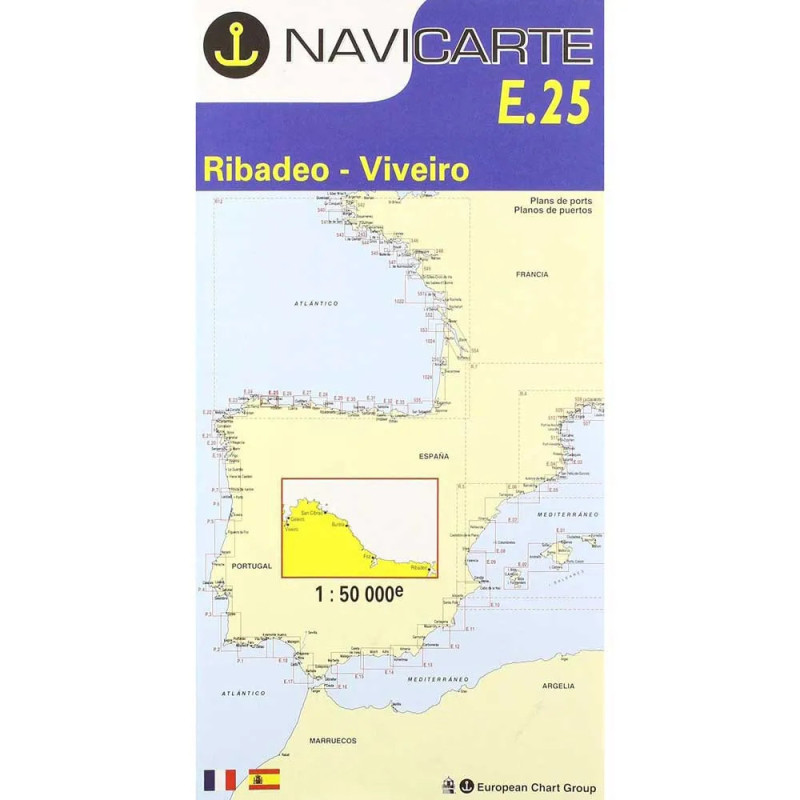
Navicarte E25 is a high-clarity inshore paper nautical chart covering the Atlantic coastline of Ribadeo to Viveiro in Galicia. Designed for practical coastal navigation and approaches, it combines readable colour symbology with detailed bathymetry in metres. With a precise 1:50 000 scale and generous A0 format for superior legibility, this chart helps skippers plan safe routes, identify hazards and align visual references with onboard instruments. Produced from authoritative hydrographic data and updated editions, it’s a dependable companion for cruising, fishing and local pilotage along this renowned Bay of Biscay shoreline.
Choose Navicarte E25 at Stratosens.com to equip your boat with a precise, easy‑to‑read and robust inshore chart for Galicia’s Ribadeo–Viveiro corridor. At Stratosens.com you get carefully curated maritime cartography, expert product selection and fast dispatch, so your planning is simpler and your time on the water is safer and more enjoyable.
No customer reviews for the moment.