












- New

Your Meteorology and Precision Instrumentation shop
Your Meteorology and Precision Instrumentation shop
 Payments 100% Safe
 Delivery in 5-7 labour days
 Money back Guarantee
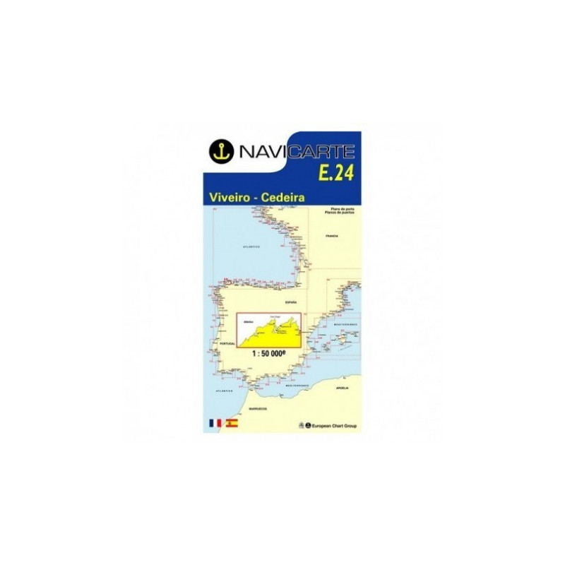
The Navicarte E24 is a professional-grade marine chart covering the rugged Galician coastline between Viveiro and Cedeira. Designed for reliable coastal navigation, it delivers clear symbology, precise depth information in metres and highly legible harbour approaches. Ideal as a primary planning tool and a paper backup to onboard electronics, this chart helps skippers, anglers and cruisers make confident decisions when approaching rías, headlands and sheltered anchorages along Spain’s north-west coast.
For reliable navigation along Galicia’s north coast, the Navicarte E24 combines precise coastal detail, metre-based soundings and robust deck-ready construction. It delivers the clarity you need for safe approaches and the resilience you want as a dependable backup to electronics. Choose it from Stratosens.com for expert service, fast dispatch and a curated selection of weather and precision instruments that keep your voyages safer and smarter.
No customer reviews for the moment.