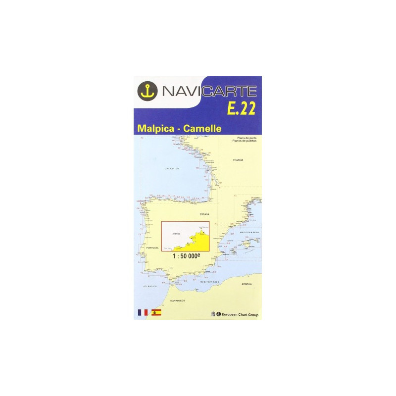
Marine Chart Navicarte E22 – Malpica, Camelle
Navigate Galicia’s rugged Costa da Morte with confidence using the Navicarte E22 – Malpica, Camelle, a precise coastal paper chart designed for safe inshore piloting between Malpica and Camelle/Camariñas. Built for real-world sailing, it highlights harbours, headlands and hazards in clear colours, includes landmark photos for tricky passages, and uses metres throughout for effortless plotting. Robust, water‑resistant printing and a practical folded format make it easy to handle on deck, while GPS‑compatible referencing ensures seamless integration with your electronics. Choose the chart trusted by sailors and outfit your passage with Stratosens.com.
Key Benefits and Applications
-
Crystal‑clear coverage of a demanding coast
Focused on the Malpica–Camelle stretch of the Costa da Morte, ideal for coastal cruising, port approaches and day sailing where precision and readability are essential.
-
Ready for deck use
Printed on water‑resistant paper with a durable finish that withstands spray and frequent folding, perfect for cockpits and chart tables in active conditions.
-
GPS‑compatible navigation
WGS 84 referencing lets you transfer waypoints and cross‑check positions from your plotter or handheld GPS with confidence.
-
Fast decisions at a glance
Clear colour coding for depths and dangers, plus symbols for lights and marks, speed up situational awareness when every second counts.
-
Safer port entries
Includes detailed harbour plans and approach information for local marinas and fishing ports, supporting secure arrivals in varied weather and visibility.
-
Reliable backup to electronics
An essential paper fallback for compliance and safety, ensuring uninterrupted navigation if power or sensors fail.
Featured technical specifications
-
Geographical area
Coastal sector of north‑west Spain covering Malpica to Camelle and surroundings on the Costa da Morte, including approaches to key ports and anchorages.
-
Chart scale
Inshore scale 1:50 000 for precise coastal piloting and approach work, delivering fine detail of shoreline, soundings and hazards.
-
Sheet and format
Base sheet size approximately A0 for maximum legibility when unfolded, supplied folded to about 16.5 × 31.5 cm for convenient stowage.
-
Datum and projection
WGS 84 compatible, allowing direct use with GNSS positions and modern onboard electronics.
-
Depth units and contours
Soundings in metres with clearly shaded depth bands and contour intervals optimised for quick risk assessment.
-
Aids to navigation
Comprehensive depiction of lights, beacons, buoys and sectors to align visual navigation with instrument data day and night.
-
Harbour and approach details
Insets and plans for local ports to assist with pilotage, berthing and anchorage selection.
-
Hydrographic data source
Bathymetric and coastal information compiled from official hydrographic sources and maintained to recognised nautical charting standards.
-
Legends and languages
Clear bilingual legends for symbology and notes, enhancing usability for international crews.
-
Durability
Water‑resistant printing and a sturdy paper composition that resists tearing and repeated folding in wet conditions.
Why this chart is the perfect choice for your passage
The Malpica–Camelle coastline rewards precision. The Navicarte E22 combines accurate metre‑based soundings, GPS‑ready referencing and robust construction to keep you in control from planning to pilotage. Order with confidence from Stratosens.com, where you benefit from curated marine cartography, expert instrumentation know‑how and a selection of complementary plotting tools to complete your navigation kit.














 Payments 100% Safe
 Delivery in 5-7 labour days
 Money back Guarantee