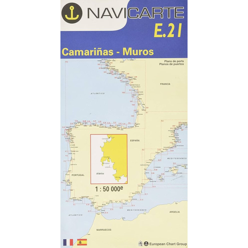
Marine Chart Navicarte E21 – Camariñas, Muros
Navigate the dramatic Costa da Morte with confidence. The Navicarte E21 focuses on the coastal sector between Camariñas and Muros in Galicia, delivering sharp inshore detail at a practical 1:50 000 scale and clear, colour‑coded symbology for dangers, depths and light sectors. Built for everyday use on deck, it combines a large, easy‑to‑read chart face with a compact folded format for quick access at the helm. Legends are provided in French and Spanish, and all soundings are in metres to align with European practice. Whether you are cruising, fishing or making a delivery, E21 is a reliable paper reference that complements your electronics when precision and redundancy matter most.
Key Benefits and Applications
- Precision for coastal piloting – The 1:50 000 scale helps you judge distances and bearings at a glance, ideal for short‑range navigation and tight approaches along the rugged Galician shoreline.
- Confident harbour entries – Clear harbour plans and approach information support safe entry to key rías and fishing ports, reducing stress in changing Atlantic conditions.
- Instant situational awareness – High‑contrast colours highlight shoals, rock outcrops, tidal flats and light sectors, allowing you to anticipate hazards and plot conservative tracks.
- Robust on‑board use – A large chart face for planning and a folded, grab‑and‑go format for cockpit checks make it practical in real weather, from drizzle to bright sun.
- Seamless backup to GPS – When screens fog or power is limited, a dependable paper chart keeps your navigation resilient and compliant with good seamanship.
- Team‑friendly readability – Bilingual legends (FR/ES) and intuitive symbols help mixed crews coordinate quickly during watches and manoeuvres.
Featured technical specifications
- Geographic coverage – Coastal sector of Galicia, Spain, from Camariñas to Muros, including approaches to the main rías and headlands of the area.
- Scale – 1:50 000 for detailed inshore navigation; for quick mental math, 1 cm on the chart represents 500 m on the water.
- Chart format – Open size approximately 118.9 cm × 84.1 cm (A0) for maximum legibility; folded size approximately 165 mm × 315 mm for compact stowage.
- Depths and heights – Soundings, contours and vertical data expressed in metres to match European standards.
- Language – Bilingual legends in French and Spanish for rapid interpretation by diverse crews.
- Classification – Inshore navigation chart designed for coastal cruising, fishing passages and day‑sailing along the shoreline.
- Hydrographic pedigree – Produced using authoritative hydrographic sources and compliant with professional standards; GPS‑compatible charting datums are indicated on the sheet for accurate plotting.
- Reference identifiers – Series code E21 with internal reference 105121221 for straightforward reordering and onboard inventory control.
Why this chart is the perfect choice for your passage
Choose Navicarte E21 at Stratosens.com to equip your boat with a dependable, European‑standard paper chart tailored to Galicia’s most demanding coastline. Stratosens.com curates specialist navigation and weather instruments, ensures careful packaging of large‑format charts, and offers expert, product‑savvy support so you receive the latest edition available and the clarity you need when conditions get busy. With Stratosens.com, you add a precise, cockpit‑ready chart to your navigation toolkit—one that keeps your crew confident from planning table to final approach.














 Payments 100% Safe
 Delivery in 5-7 labour days
 Money back Guarantee