












- New

Your Meteorology and Precision Instrumentation shop
Your Meteorology and Precision Instrumentation shop
 Payments 100% Safe
 Delivery in 5-7 labour days
 Money back Guarantee
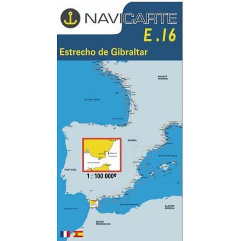
The Marine Chart Navicarte E16 is your trusted companion for navigating one of the world’s busiest and most strategic waterways, the Gibraltar Strait. Designed for skippers, cruisers and professional crews who demand clarity and reliability, it delivers precise coastal detail, easy-to-read symbology and focused coverage of key approaches on both European and North African shores. Choose the Navicarte E16 to plan confident passages, refine your pilotage and make smarter decisions on the water with information presented in a clean, practical layout.
Pair the proven clarity of the Navicarte E16 with the service of Stratosens.com and you get a dependable navigation tool delivered with care, expert product guidance and responsive support. Order with confidence knowing your chart is curated by specialists who understand the demands of real‑world navigation and are committed to equipping your vessel with reliable, professional‑grade resources.
No customer reviews for the moment.