










To give you the best possible experience, this site uses cookies. Using your site means your agree to our use of cookies. We have published a new cookies policy, which you should need to find out more about the cookies we use. View Cookies Policy.
Buy Marine Binoculars Levenhuk Nelson 7x50 - Stratosens.comMarine Binoculars Levenhuk Nelson 7x50
  • New
€189.95
Buy Monocular Levenhuk Wise Pro 10x50 - Stratosens.comMonocular Levenhuk Wise Pro 10x50
  • New
€129.95
Buy Spotting Scope Levenhuk Blaze Plus 90 - Stratosens.comSpotting Scope Levenhuk Blaze Plus 90
  • New
€319.95
Buy Digital Monocular Levenhuk Kelvin Snap ED 8x42 - Stratosens.comDigital monocular Levenhuk Kelvin Snap ED 8x42
  • New
Buy Digital Monocular Levenhuk Kelvin Snap 8x25 - Stratosens.comDigital monocular Levenhuk Kelvin Snap 8x25
  • New
€159.95
  • New
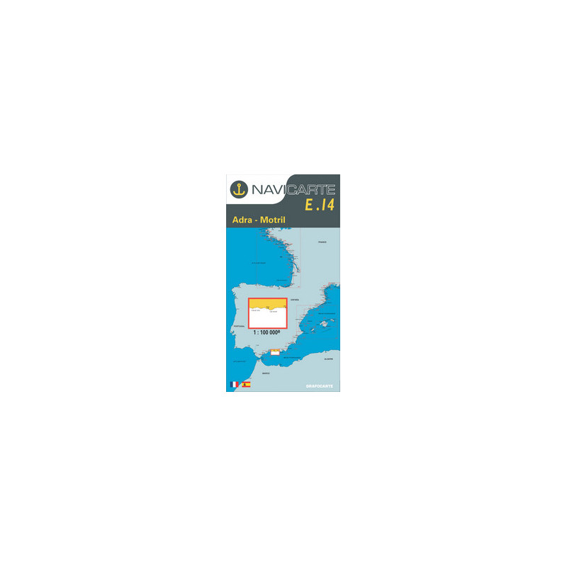
Marine Chart Navicarte E14 - Adra, Motril

Marine Chart Navicarte E14 - Adra, Motril

Review (0)
€24.95
Tax Included
Delivery in 5-7 labour days
Quantity :
  • Payments 100% SafePayments 100% Safe
  • Delivery in 5-7 labour daysDelivery in 5-7 labour days
  • Money back GuaranteeMoney back Guarantee

Marine Chart Navicarte E14 — Adra to Motril (Andalusia, Spain)

Professional coastal chart for safe navigation between Adra and Motril on Spain’s Mediterranean coast. Designed for skippers, anglers and cruisers who demand clarity and accuracy, Navicarte E14 delivers high‑legibility cartography, precise metre soundings and clearly depicted coastal hazards. Whether you are planning a short coastal hop or entering port at dusk, this chart provides the critical visual information you need for confident route planning and real‑time decision‑making.

Key Benefits and Applications

  • Confident Coastal Navigation — Clear coastline, depth shading and hazard symbols help you plot safe tracks along the Costa de Almería and Costa Tropical with rapid situational awareness.
  • Reliable Port Approaches — Detailed approaches guide your entry to Adra and Motril, supporting smoother manoeuvres when visibility or traffic conditions demand precision.
  • Optimised Passage Planning — Metre soundings, contouring and latitude–longitude grid support accurate course laying, ETA estimates and fuel planning for day trips or multi‑stop cruises.
  • On‑board Redundancy — A robust paper chart remains readable without power, software or updates, providing a vital backup to electronic systems.
  • Training and Certification Use — Ideal for RYA‑style exercises and onboard briefings, reinforcing best practices in traditional plotting and pilotage.
  • Angling and Leisure — Depth information and seabed details help identify productive grounds while keeping clear of restricted or shallow zones.

Featured technical specifications

  • Geographic coverage — Coastal sector from Adra to Motril in Andalusia, Spain, including nearshore features, headlands and approach routes relevant to these ports.
  • Soundings and depth units — Depths shown in metres (m) with clear contouring and spot soundings to support safe under‑keel clearance calculations.
  • Datum and projection — Geodetic reference compatible with modern GPS positioning and marine navigation practices, plotted on a Mercator‑style grid for accurate course and distance work in kilometres.
  • Navigational aids — Lights, beacons, buoys and leading marks depicted with recognised international chart symbology for rapid identification day or night.
  • Coastal hazards and restrictions — Rocks, shoals, wrecks, cables and restricted areas indicated to assist in risk assessment and route selection.
  • Tidal and magnetic information — Annotated notes assist with tidal awareness and magnetic considerations during planning and pilotage.
  • Chart build and readability — High‑contrast printing, legible type and intuitive colour layer hierarchy enhance visibility on deck and at the chart table.
  • Plotting compatibility — Graduated latitude–longitude graticule supports precise fixes and waypoints with parallel rulers, dividers and compasses.
  • Usage — Suitable as a primary paper reference on small craft and as a redundancy layer alongside electronic navigation systems.

Why this chart is the perfect choice for your voyage

Choosing Navicarte E14 through Stratosens.com means you receive a carefully curated chart that balances precision with readability, ideal for real‑world use on a moving deck. At Stratosens.com, we focus on professional‑grade weather and navigation tools, so you can equip your vessel with confidence. Add this chart to your planning kit to enhance safety, streamline port entries and keep your crew informed at every stage of the passage.

105121214

No customer reviews for the moment.

Write your review
Marine Chart Navicarte E14 - Adra, Motril
Buy Marine Chart Navicarte E14 - Adra, Motril - Stratosens.com

Marine Chart Navicarte E14 - Adra, Motril

€24.95
Tax Included
Delivery in 5-7 labour days