Marine Chart Navicarte E05 – Tossa, Barcelona
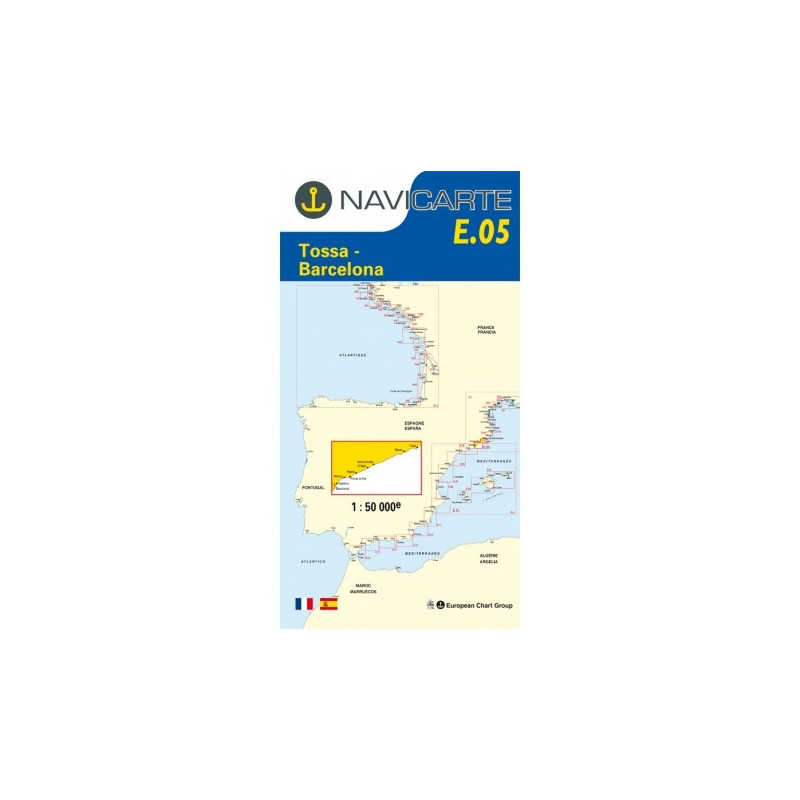
Navigate the Catalan coast with confidence using the Navicarte E05, the trusted paper nautical chart covering the stretch from Tossa de Mar to Barcelona along the Mediterranean. Designed for recreational skippers and professional crews alike, this chart delivers clear colour symbology, precise depth information in metres, and easy-to-read coastal details that help you plan safe approaches, anchorages, and passages. Its water‑resistant, latex‑reinforced paper stands up to spray and frequent handling, while the GPS‑compatible WGS 84 projection keeps your routes aligned with modern instruments. Choose reliable coastal awareness and robust onboard usability, available from Stratosens.com.
Key Benefits and Applications
- Crystal-clear coastal overview — The focused Tossa–Barcelona coverage removes clutter so you see headlands, bays, and traffic separation at a glance for faster decision‑making during day trips and weekend cruising.
- Safer approaches and entries — Harbour insets and coastal details highlight lights, beacons, and hazards to support smooth approaches to marinas and fishing ports along the Costa Brava and Barcelona coast.
- Ready for cockpit use — Water‑resistant, foldable paper resists spray and repeated folding, ideal for open‑air navigation and quick checks on deck.
- Instrument-friendly navigation — GPS‑compatible projection and metric soundings integrate seamlessly with plotters and handheld receivers for accurate fixes and route transfers.
- Fast passage planning — The balanced inshore scale lets you plot bearings, cross‑check distances, and identify safe water with speed when planning short hops or coastal deliveries.
- Training and certification support — Clear legends and bilingual notes are perfect for coursework, refreshers, and onboard briefings where readability matters.
Featured technical specifications
- Geographic coverage — Mediterranean coast of Spain from Tossa de Mar to Barcelona, focused on the Costa Brava and Catalonia shoreline for inshore navigation.
- Scale — 1:50 000 inshore scale delivering an optimal balance between situational awareness and close‑quarters detail.
- Depths and units — Soundings in metres with contours and spot depths to support precise under‑keel clearance assessments using SI units.
- Projection and GPS compatibility — WGS 84 chart datum and projection for straightforward waypoint plotting and track matching with modern receivers.
- Paper and durability — Latex‑loaded, water‑resistant paper engineered for legibility, easy writing and erasing of routes, and strong resistance to folding even when damp.
- Format and size — Full chart size approximately A0 (118.9 × 84.1 cm) for a generous plotting area; compact folded format approximately 166 × 315 mm for easy stowage.
- Printing — Single‑sided “Simple” edition with clear colour coding that emphasises hazards, lights, and seabed information for rapid interpretation.
- Harbour insets — Includes targeted insets for principal ports within the sector to assist with final‑mile pilotage and marina entry.
- Language and legends — Bilingual legends in French and English with intuitive symbols that reduce interpretation time at sea.
- Data source and updates — Produced using official hydrographic data and reprinted periodically to incorporate notice‑based corrections, regulatory changes, and harbour modifications.
Why this marine chart is the perfect choice for your navigation
When reliability and clarity matter, the Navicarte E05 delivers the essential coastal detail you need between Tossa and Barcelona, paired with rugged paper built for real onboard use. Order from Stratosens.com to equip your chart table with a proven, GPS‑compatible reference that enhances safety, speeds up planning, and withstands the rigours of Mediterranean cruising.













 Payments 100% Safe
 Delivery in 5-7 labour days
 Money back Guarantee