










To give you the best possible experience, this site uses cookies. Using your site means your agree to our use of cookies. We have published a new cookies policy, which you should need to find out more about the cookies we use. View Cookies Policy.
Buy Marine Binoculars Levenhuk Nelson 7x50 - Stratosens.comMarine Binoculars Levenhuk Nelson 7x50
  • New
€189.95
Buy Monocular Levenhuk Wise Pro 10x50 - Stratosens.comMonocular Levenhuk Wise Pro 10x50
  • New
€129.95
Buy Spotting Scope Levenhuk Blaze Plus 90 - Stratosens.comSpotting Scope Levenhuk Blaze Plus 90
  • New
€319.95
Buy Digital Monocular Levenhuk Kelvin Snap ED 8x42 - Stratosens.comDigital monocular Levenhuk Kelvin Snap ED 8x42
  • New
Buy Digital Monocular Levenhuk Kelvin Snap 8x25 - Stratosens.comDigital monocular Levenhuk Kelvin Snap 8x25
  • New
€159.95
  • New
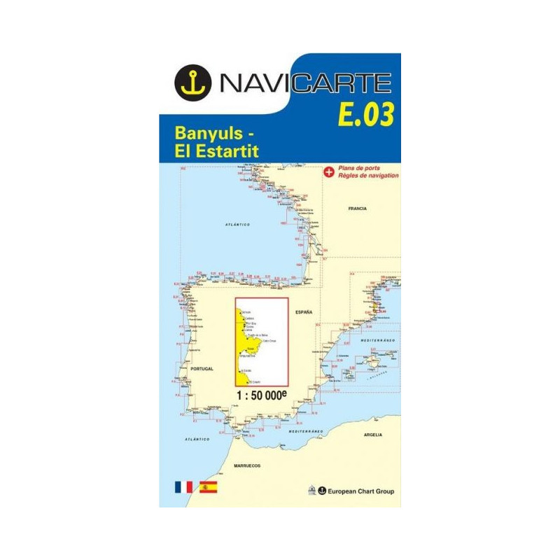
Marine Chart Navicarte E03 - Banyuls, l'Estartit

Marine Chart Navicarte E03 - Banyuls, l'Estartit

Review (0)
€24.95
Tax Included
Delivery in 5-7 labour days
Quantity :
  • Payments 100% SafePayments 100% Safe
  • Delivery in 5-7 labour daysDelivery in 5-7 labour days
  • Money back GuaranteeMoney back Guarantee

Marine Chart Navicarte E03 — Banyuls to l’Estartit

Navigate the spectacular Mediterranean coast from Banyuls-sur-Mer to l’Estartit with confidence using the Navicarte E03. This professional nautical chart delivers a clear, highly legible layout designed for coastal cruising, fishing, and day sailing around Cap de Creus and the northern Costa Brava. Expect sharp symbology, accurate shoreline detail, and essential navigation data presented for fast decision‑making at the helm. Choose the E03 to streamline your passage planning, improve situational awareness, and enjoy safer approaches to ports and anchorages — all with the trusted support of Stratosens.com.

Key Benefits and Applications

  • Confident coastal navigation — Plan routes and coastal hops with a chart purpose‑built for near‑shore sailing, from short day trips to multi‑stop itineraries along the Franco‑Spanish Mediterranean.
  • Safer harbour approaches — Identify headlands, leading marks, lights and buoyage quickly to make calm, controlled entries into ports such as Port‑Vendres, Roses and l’Estartit, even in reduced visibility.
  • Fast, readable information — Clear depth shading, neat typography and intuitive symbology help you interpret the seabed, hazards and traffic separation at a glance, reducing workload on deck.
  • Optimised for GPS and plotter cross‑checks — Use the chart’s latitude–longitude grid and datum notes to verify electronic positions and maintain robust paper‑plus‑GNSS redundancy.
  • Ideal for sailing, motor boating and angling — From locating sheltered coves to tracing productive reefs and contours, E03 supports recreational and professional users across the region.
  • Reliable voyage planning — Prepare passages around Cap de Creus with shoreline detail, prominent landmarks and coastal topography that enhance pilotage and visual fixes.

Featured technical specifications

  • Geographic coverage — Coastal stretch from Banyuls‑sur‑Mer to l’Estartit including Cap de Creus, the northern Costa Brava and principal approaches to regional harbours and marinas.
  • Depth soundings in metres — Bathymetric data presented in metres with clearly defined contouring and colour‑graded shallows for rapid depth assessment.
  • Navigation aids and buoyage — Lights, sectors, buoys and beacons depicted following IALA Region A conventions with characteristics and positions clearly shown.
  • Harbour and approach detail — Enhanced information for key ports and anchorages to support pilotage, berthing decisions and safe manoeuvring close to shore.
  • Latitude–longitude grid — A precise graticule supports plotting, dead reckoning checks and cross‑reference with onboard electronics.
  • Geodetic datum noted — Datum and projection information are stated on the chart to align with modern GNSS workflows and minimise positional offsets.
  • Mercator projection — The standard marine projection ensures consistent bearings and straightforward course laying for coastal navigation.
  • Clear hazard depiction — Rocks, wrecks, restricted areas and marine reserves are highlighted to inform safe route choices around sensitive zones.
  • Topographic context — Shoreline outlines, elevation cues and conspicuous landmarks support visual navigation and confirm fixes from seaward.
  • Edition and notices to mariners — The chart indicates its edition and update references so you can verify currency before departure.

Why this chart is the perfect choice for demanding Mediterranean passages

The Navicarte E03 blends clarity, accuracy and real pilotage utility across a busy, weather‑sensitive coastline, making it a smart upgrade for any skipper operating between Banyuls and l’Estartit. Order with confidence from Stratosens.com, where you benefit from expert support, fast dispatch and a curated selection of reliable navigation tools that keep your crew safer and your cruising smoother.

105121203

No customer reviews for the moment.

Write your review
Marine Chart Navicarte E03 - Banyuls, l'Estartit
Marine Chart Navicarte E03 - Banyuls, l'Estartit - Stratosens.com

Marine Chart Navicarte E03 - Banyuls, l'Estartit

€24.95
Tax Included
Delivery in 5-7 labour days