












- New

Your Meteorology and Precision Instrumentation shop
Your Meteorology and Precision Instrumentation shop
 Payments 100% Safe
 Delivery in 5-7 labour days
 Money back Guarantee
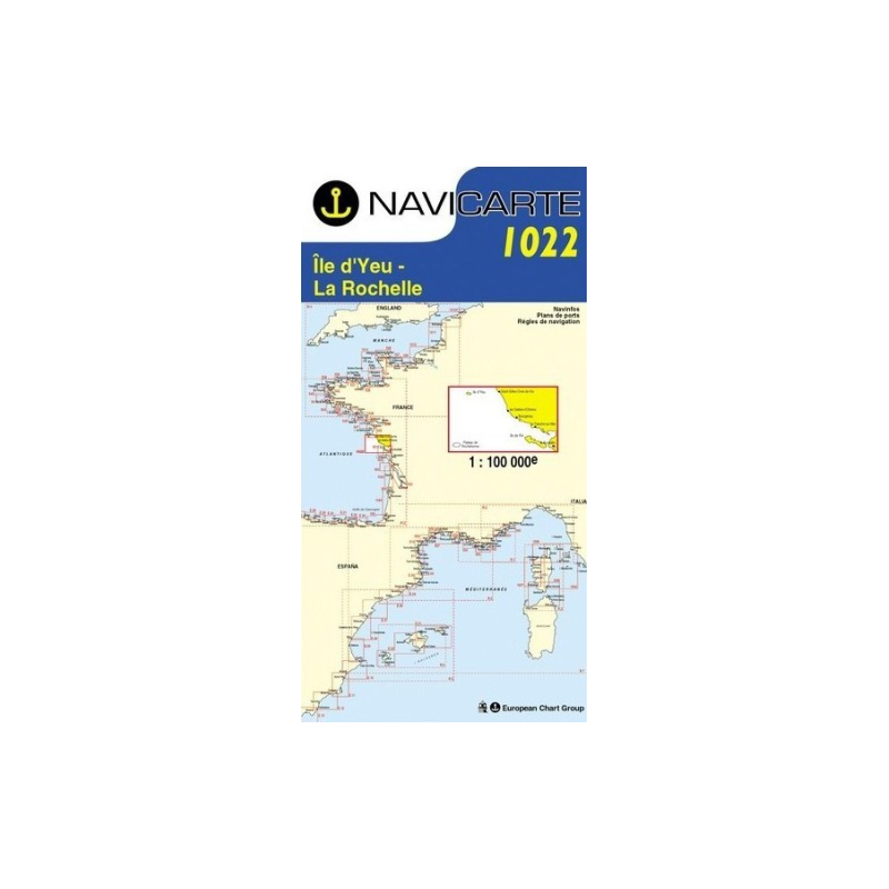
Plan your passages along France’s Atlantic coast with confidence using the Marine Chart Navicarte 1022, purpose‑built for the stretch from Île d’Yeu to La Rochelle. Designed for sailors and powerboaters who demand clarity, reliability and ease of use, this chart delivers precise coastal coverage, clear symbology and metric soundings that make route planning and on‑deck decisions faster and safer.
Because it focuses exactly on the waters you sail, the Marine Chart Navicarte 1022 balances clarity with the essential detail coastal skippers rely on. Choose it at Stratosens.com to equip your boat with a dependable, metric‑based chart that speeds planning, sharpens pilotage and elevates safety on every passage between Île d’Yeu and La Rochelle.
No customer reviews for the moment.