










To give you the best possible experience, this site uses cookies. Using your site means your agree to our use of cookies. We have published a new cookies policy, which you should need to find out more about the cookies we use. View Cookies Policy.
Buy Marine Binoculars Levenhuk Nelson 7x50 - Stratosens.comMarine Binoculars Levenhuk Nelson 7x50
  • New
€189.95
Buy Monocular Levenhuk Wise Pro 10x50 - Stratosens.comMonocular Levenhuk Wise Pro 10x50
  • New
€129.95
Buy Spotting Scope Levenhuk Blaze Plus 90 - Stratosens.comSpotting Scope Levenhuk Blaze Plus 90
  • New
€319.95
Buy Digital Monocular Levenhuk Kelvin Snap ED 8x42 - Stratosens.comDigital monocular Levenhuk Kelvin Snap ED 8x42
  • New
Buy Digital Monocular Levenhuk Kelvin Snap 8x25 - Stratosens.comDigital monocular Levenhuk Kelvin Snap 8x25
  • New
€159.95
  • New
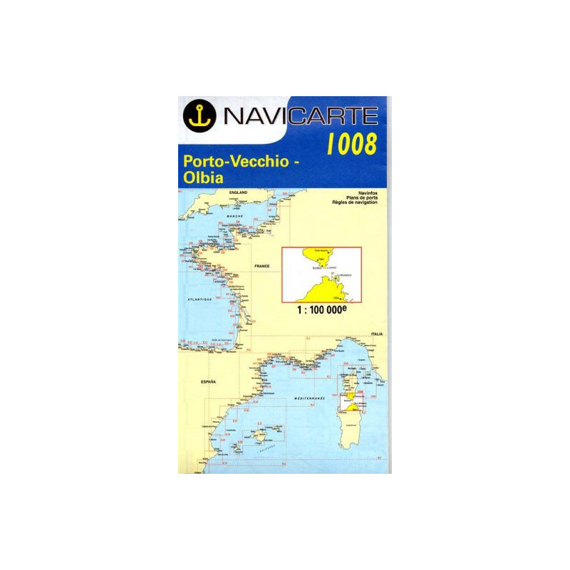
Marine Chart Navicarte 1008 - Porto-Vecchio, Olbia

Marine Chart Navicarte 1008 - Porto-Vecchio, Olbia

Review (0)
€24.95
Tax Included
Delivery in 5-7 labour days
Quantity :
  • Payments 100% SafePayments 100% Safe
  • Delivery in 5-7 labour daysDelivery in 5-7 labour days
  • Money back GuaranteeMoney back Guarantee

Marine Chart Navicarte 1008 – Porto-Vecchio to Olbia

Navigate the dramatic Strait of Bonifacio with confidence using the Marine Chart Navicarte 1008, covering the routes between Porto-Vecchio in Corsica and Olbia in Sardinia, including the La Maddalena archipelago and surrounding approaches. Designed for skippers who demand clarity and reliability, this chart delivers crisp coastal detail, easy-to-read symbology and robust paper for real-world conditions. Whether you are planning a cruise or refining your route on board, it is the ideal paper companion and a dependable backup to your electronics, available from Stratosens.com.

Key Benefits and Applications

  • Confidence through clear coastal detail — Read shorelines, headlands, bays and anchorages at a glance to plan safe approaches and well‑judged departures.
  • Safer passages in the Strait of Bonifacio — Identify hazards, overfalls and rocky shallows quickly so you can choose tracks with the best safety margins.
  • Ideal for cruise planning — Visualise passage options, alternate ports and weather contingencies to build flexible day-by-day itineraries.
  • Fast decision‑making on board — Large, legible soundings and contours help you evaluate depth under keel and turning room without hesitation.
  • Reliable backup to electronics — Maintain full situational awareness during GPS dropouts or power issues and keep navigating with precision.
  • Perfect for charter and regattas — Crews new to the area can brief routes together on a single sheet and annotate waypoints, bearings and notes clearly.
  • Enhanced crew communication — A shared, tactile overview helps skippers delegate tasks and brief harbour entries efficiently.

Featured technical specifications

  • Geographical coverage — Focused on the Corsica–Sardinia gateway from Porto‑Vecchio to Olbia, including Bonifacio, Santa Teresa Gallura, Palau and the La Maddalena islands for practical coastal cruising.
  • Soundings in metres — Depths and contour intervals are expressed in metres to match European standards and support precise under‑keel calculations.
  • Coastal navigation scale with plan insets — Main coastal coverage supported by larger‑scale plan areas for key ports and anchorages to aid safe approaches.
  • Chart datum and positioning — Built for modern positioning with a geodetic datum compatible with contemporary GNSS receivers for accurate plotting.
  • Projection and grid — Mercator‑style presentation with a clear latitude and longitude grid for straightforward bearing, cross‑track and DR work.
  • International buoyage compatibility — Symbolisation aligned with IALA Region A conventions used in Europe for consistent interpretation of marks and lights.
  • Tidal and current awareness — Notes and symbols highlight areas where tidal streams and local effects are navigationally significant so you can time passages intelligently.
  • High‑legibility cartography — Distinctive colour palette, readable type and prominent contours reduce eye strain and speed up recognition in bright cockpit light or low visibility.
  • Durable chart stock — Printed on robust marine‑grade paper suitable for repeated folding, cockpit use and pencil annotations.
  • Practical annotation space — Generous margins and logical layout give room for notes, fixes, waypoints and course alterations without clutter.

Why this chart is the perfect choice for your navigation

Choose the Marine Chart Navicarte 1008 at Stratosens.com to equip your boat with a trustworthy, metric‑based paper reference tailored to one of the Mediterranean’s most rewarding yet demanding cruising grounds. At Stratosens.com you get a carefully curated chart selected by marine and instrumentation specialists, dependable quality from first opening to final landfall and customer support that understands real‑world navigation. Add it to your kit for safer planning, clearer crew briefings and confident landfalls between Porto‑Vecchio and Olbia.

105121008

No customer reviews for the moment.

Write your review
Marine Chart Navicarte 1008 - Porto-Vecchio, Olbia
Buy Marine Chart Navicarte 1008 - Porto-Vecchio, Olbia -Stratosens.com

Marine Chart Navicarte 1008 - Porto-Vecchio, Olbia

€24.95
Tax Included
Delivery in 5-7 labour days