










To give you the best possible experience, this site uses cookies. Using your site means your agree to our use of cookies. We have published a new cookies policy, which you should need to find out more about the cookies we use. View Cookies Policy.
Buy Marine Binoculars Levenhuk Nelson 7x50 - Stratosens.comMarine Binoculars Levenhuk Nelson 7x50
  • New
€189.95
Buy Monocular Levenhuk Wise Pro 10x50 - Stratosens.comMonocular Levenhuk Wise Pro 10x50
  • New
€129.95
Buy Spotting Scope Levenhuk Blaze Plus 90 - Stratosens.comSpotting Scope Levenhuk Blaze Plus 90
  • New
€319.95
Buy Digital Monocular Levenhuk Kelvin Snap ED 8x42 - Stratosens.comDigital monocular Levenhuk Kelvin Snap ED 8x42
  • New
Buy Digital Monocular Levenhuk Kelvin Snap 8x25 - Stratosens.comDigital monocular Levenhuk Kelvin Snap 8x25
  • New
€159.95
  • New
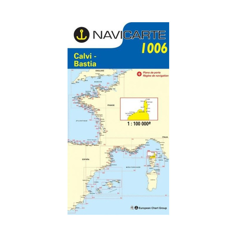
Marine Chart Navicarte 1006 - Calvi, Bastia

Marine Chart Navicarte 1006 - Calvi, Bastia

Review (0)
€24.95
Tax Included
Delivery in 5-7 labour days
Quantity :
  • Payments 100% SafePayments 100% Safe
  • Delivery in 5-7 labour daysDelivery in 5-7 labour days
  • Money back GuaranteeMoney back Guarantee

Marine Chart Navicarte 1006 – Calvi, Bastia

Navigate the north coast of Corsica with confidence using the Marine Chart Navicarte 1006, focused on the stretch between Calvi and Bastia. Designed for skippers who demand clarity and reliability, this professional nautical chart delivers crisp cartography, intuitive symbology and high legibility in bright sun or low light. Whether you are planning a coastal passage, approaching harbour or refining an anchorage strategy, this chart helps you make fast, informed decisions on deck. Available from Stratosens.com, it is an essential, sales‑ready addition to any Mediterranean cruising kit.

Key Benefits and Applications

  • Confident coastal navigation – Clear shoreline detail and coastal landmarks support quick situational awareness when piloting along the north Corsican coast between Calvi and Bastia.
  • Safer approaches and harbour entries – Legible depth information and buoyage make it easier to judge under‑keel clearance and course corrections when closing the land.
  • Fast decision‑making on deck – Clean colour layers and readable type help skippers and crew digest critical data at a glance, even in challenging weather.
  • Reliable backup to electronics – A robust paper reference that complements plotters, providing an independent navigation source during power or sensor issues.
  • Efficient route planning – Practical layout and metric scale bars streamline the transfer of waypoints and bearings from the chart table to the cockpit.
  • Training and instruction ready – Ideal for practising coastal piloting techniques, DR plotting and visual fixes in a real‑world Mediterranean setting.

Featured technical specifications

  • Geographic coverage – Focused on the northern Corsica seaboard between Calvi and Bastia in the Mediterranean Sea for passage and approach planning in this high‑traffic area.
  • Depths in metres – Soundings, contours and critical spot depths expressed in metres to align with International System units used in Spain and Europe.
  • Heights in metres – Prominent elevations, beacons and landmarks indicated in metres to aid visual navigation and cross‑checking from sea.
  • Latitude and longitude grid – Clear graticule for precise fixes, bearings and waypoint transfer directly from the chart.
  • International symbology – Uses standard IHO‑style symbols and colour conventions for buoys, lights, seabed types and hazards to ensure intuitive reading.
  • Magnetic information – Compass roses provide magnetic variation and true references to support accurate course setting and corrections.
  • Chart datum and coordinates – Geodetic reference compatible with modern GPS plotting practices for dependable position plotting.
  • Readable layout for the cockpit – Large, uncluttered type and balanced contrast enhance legibility when the chart is folded and used at the helm.
  • Durable print quality – Marine‑grade paper and high‑contrast inks designed for frequent handling on board and repeated folding without loss of clarity.
  • Practical metric scale bars – Scale bars in SI units simplify quick distance checks and time‑to‑go estimates without conversion.

Why this chart is the perfect choice for your voyage

The Marine Chart Navicarte 1006 blends trustworthy cartography with a layout optimised for real on‑water use, giving you the clarity and focus you need when navigating between Calvi and Bastia. Choose it at Stratosens.com to enjoy attentive support, careful packing and a curated selection of marine and precision instruments that keep you prepared for every passage.

105121006

No customer reviews for the moment.

Write your review
Marine Chart Navicarte 1006 - Calvi, Bastia
Buy Marine Chart Navicarte 1006 - Calvi, Bastia -Stratosens.com

Marine Chart Navicarte 1006 - Calvi, Bastia

€24.95
Tax Included
Delivery in 5-7 labour days