










To give you the best possible experience, this site uses cookies. Using your site means your agree to our use of cookies. We have published a new cookies policy, which you should need to find out more about the cookies we use. View Cookies Policy.
Buy Marine Binoculars Levenhuk Nelson 7x50 - Stratosens.comMarine Binoculars Levenhuk Nelson 7x50
  • New
€189.95
Buy Monocular Levenhuk Wise Pro 10x50 - Stratosens.comMonocular Levenhuk Wise Pro 10x50
  • New
€129.95
Buy Spotting Scope Levenhuk Blaze Plus 90 - Stratosens.comSpotting Scope Levenhuk Blaze Plus 90
  • New
€319.95
Buy Digital Monocular Levenhuk Kelvin Snap ED 8x42 - Stratosens.comDigital monocular Levenhuk Kelvin Snap ED 8x42
  • New
Buy Digital Monocular Levenhuk Kelvin Snap 8x25 - Stratosens.comDigital monocular Levenhuk Kelvin Snap 8x25
  • New
€159.95
  • New
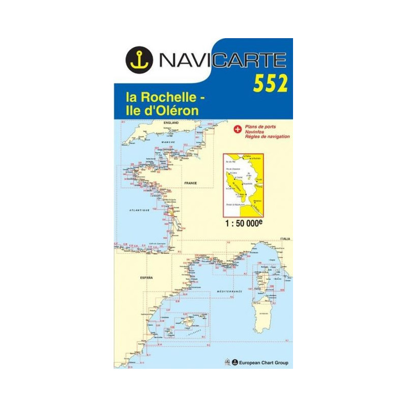
Marine Chart Navicarte 552 - La Rochelle, Ile d'Oleron

Marine Chart Navicarte 552 - La Rochelle, Ile d'Oleron

Review (0)
€24.95
Tax Included
Delivery in 5-7 labour days
Quantity :
  • Payments 100% SafePayments 100% Safe
  • Delivery in 5-7 labour daysDelivery in 5-7 labour days
  • Money back GuaranteeMoney back Guarantee

Marine Chart Navicarte 552 – La Rochelle and Île d’Oléron

Navigate the vibrant Atlantic coast of France with confidence using the Navicarte 552 marine chart for La Rochelle and Île d’Oléron. Designed for skippers who demand clarity, durability and precision, this chart highlights the key approaches, channels and coastal landmarks around La Rochelle, the Pertuis area and the island of Oléron. Its clean cartography, intuitive symbology and cockpit‑ready format make it the ideal companion for day sailing, coastal cruising and training, helping you plan safer routes and make faster decisions on the water with the support of Stratosens.com.

Key Benefits and Applications

  • Clear coastal coverage – Focused on La Rochelle and Île d’Oléron, the chart presents the surrounding pertuis and approaches with crisp detail so you can identify safe water, mark transits and prepare your entries and exits with confidence.
  • Fast, stress‑free pilotage – Intuitive symbols and legible typography guide you from offshore to harbour approaches, reducing workload in busy areas and helping crews execute manoeuvres smoothly in real time.
  • Built for real conditions – Water‑resistant materials and robust printing stand up to spray, sunlight and frequent folding, making it perfect for cockpit use during lessons, charters and coastal passages.
  • Accurate plotting and checks – A precise geographic grid and tidy scale bar support quick bearings, fixes and cross‑checks against onboard instruments, improving situational awareness.
  • Safer decision‑making – Prominent depiction of navigation aids, sectors and restricted zones helps you anticipate hazards early and select the most suitable track for prevailing conditions.
  • Ideal for training and cruising – Clear design and metric soundings make it a favourite for sailing schools, first‑time skippers and experienced cruisers who value readability and reliability.

Featured technical specifications

  • Geographic focus – Covers La Rochelle, Île d’Oléron and adjacent coastal waters within the Pertuis area to support coastal navigation and port approaches in this high‑traffic zone.
  • Projection – Marine Mercator projection for consistent course plotting and bearing transfer over the entire charted area.
  • Geodetic datum – WGS 84 datum for straightforward integration with modern GNSS receivers and onboard plotters.
  • Depth information – Soundings expressed in metres with clearly defined isobaths and drying areas to support safe under‑keel clearance planning.
  • Aids to navigation – Lighthouses, beacons and buoys displayed with light characteristics and IALA Region A conventions for immediate recognition at a glance.
  • Tidal awareness – Coastal features and annotations designed to assist with tidal planning in the Pertuis channels, supporting decisions when timing entrances and exits.
  • Chart symbology – Internationally recognised symbols and abbreviations for seamless interpretation by multilingual crews.
  • Material and finish – Durable, water‑resistant chart paper with high‑contrast inks engineered for readability under bright sun and low‑light conditions.
  • Format – Large, foldable cockpit‑friendly layout that stows easily and unfolds flat for quick course checks and crew briefings.
  • Coordinate grid – Graduated latitude and longitude scales that enable precise position fixing and dead‑reckoning without additional tools.

Why this chart is the perfect choice for your navigation

Choosing Navicarte 552 at Stratosens.com means getting a reliable coastal chart backed by expert curation, careful handling and fast dispatch. We select robust, skipper‑approved cartography that balances precision and readability, so you spend less time deciphering details and more time sailing confidently. Equip your boat with a chart that works as hard as you do—trusted quality, clear design and dependable performance from Stratosens.com.

105120552

No customer reviews for the moment.

Write your review
Marine Chart Navicarte 552 - La Rochelle, Ile d'Oleron
Marine Chart Navicarte 552 - La Rochelle, Ile d'Oleron -Stratosens.com

Marine Chart Navicarte 552 - La Rochelle, Ile d'Oleron

€24.95
Tax Included
Delivery in 5-7 labour days