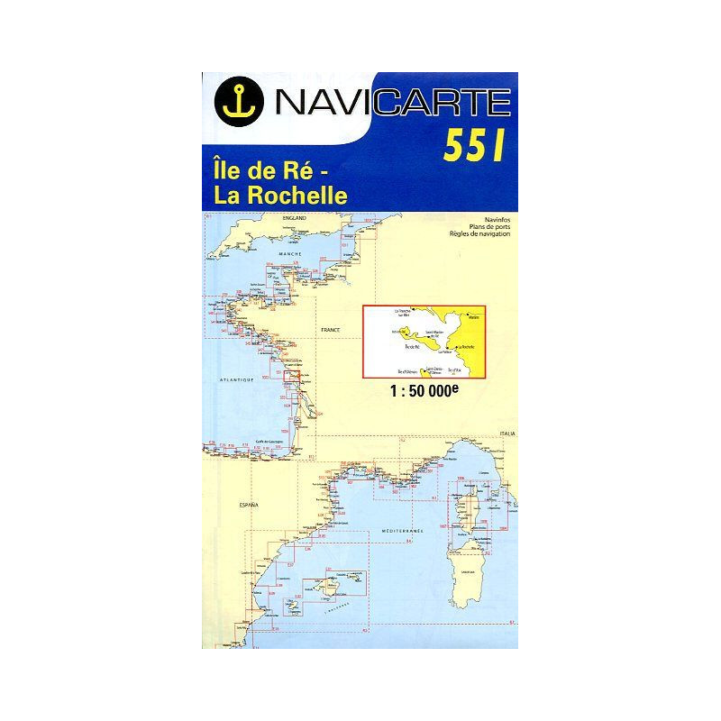
Marine Chart Navicarte 551 – Île de Ré, La Rochelle
Navigate the dynamic Atlantic approaches of Île de Ré and La Rochelle with confidence using the Navicarte 551. Designed for leisure skippers and coastal cruisers, this chart delivers clear, colour-enhanced symbology, practical port approach details, and soundings in metres for instant readability. Covering the stretch from La Tranche‑sur‑Mer to the northern reaches of Île d’Oléron, including Île d’Aix and the approaches to La Rochelle, it balances precision with robust on‑deck usability thanks to its water‑resistant, pencil‑friendly paper. Choose the Navicarte 551 when you want a reliable, easy‑to‑read companion for planning, piloting, and quick decisions at sea.
Key Benefits and Applications
- Instant situational awareness Clear coastal coverage and intuitive colours help you spot banks, channels, and hazards at a glance, ideal for coastal passages and day sailing.
- Confident port entries Practical port plans and approach details streamline pre‑arrival checks and pilotage in and out of La Rochelle and surrounding harbours.
- Fast decision‑making under way Lights, sectors, and buoyage presented in true colours support quick identification during low‑visibility or twilight transits.
- Durable and ready for deck work Water‑resistant, latex‑enhanced paper withstands spray and frequent folding while remaining easy to annotate and erase.
- Optimised for European skippers Depths, distances, and clearances expressed in SI units make planning straightforward and consistent with onboard instruments.
- Reliable for planning and backup Regular reprints integrate official corrections, making the chart a trusted reference for route planning and as a robust paper backup to electronics.
Featured technical specifications
- Geographic coverage Atlantic coast sector centred on Île de Ré and La Rochelle, from La Tranche‑sur‑Mer to the northern part of Île d’Oléron, including Île d’Aix and adjacent approaches.
- Scale and readability Scale 1:50 000, where 1 cm on the chart represents 500 m in reality, delivering the right level of detail for inshore navigation and coastal cruising.
- Soundings and bathymetry Depths in metres with clear contouring and seabed information to assist safe routeing and anchoring decisions.
- Aids to navigation Beacons, marks, and light sectors depicted in true colours for rapid visual recognition and safer pilotage.
- Port plans Selected harbour insets and access information to support approach planning, berth selection, and tidal strategy.
- Chart material Tough, water‑resistant paper with latex reinforcement for improved wet strength, fold resistance, and erasable pencil notes.
- Languages Bilingual legends and notes in French and English for easy understanding by mixed‑crew teams.
- Format Folded size approximately 166 × 315 mm for compact stowage; open sheet size A0, about 1189 × 841 mm for generous plotting space.
- Update policy Periodically reissued; reprints incorporate official corrections to reflect changes in depths, buoyage, and coastal infrastructure.
- Compliance and data sources Produced under convention with French hydrographic data and aligned with international navigation standards for leisure craft.
Why this chart is the perfect choice for your navigation
Ordering through Stratosens.com means you receive a carefully curated, Europe‑ready chart with clear SI‑unit cartography, durable construction for real‑world use, and expert support before and after purchase. At Stratosens.com we specialise in weather and precision instruments, so we pair your Navicarte 551 with complementary tools for safer planning, faster decisions, and smoother coastal cruising around Île de Ré and La Rochelle.














 Payments 100% Safe
 Delivery in 5-7 labour days
 Money back Guarantee