












- New

Your Meteorology and Precision Instrumentation shop
Your Meteorology and Precision Instrumentation shop
 Payments 100% Safe
 Delivery in 5-7 labour days
 Money back Guarantee
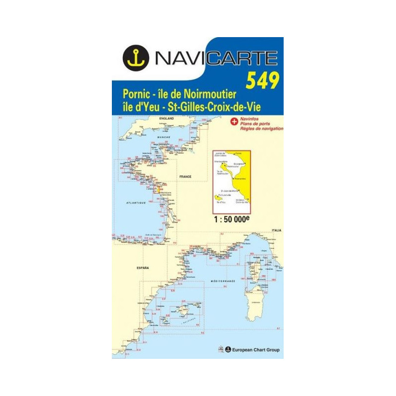
Navigate the Atlantic coast of western France with confidence using the Navicarte 549 marine chart covering Pornic to Saint‑Gilles‑Croix‑de‑Vie. Designed for sailors, motor‑boaters and anglers who need clear, up‑to‑date coastal detail, it brings together precise shoreline contours, depth information in metres and essential navigation aids for safe passages across the Baie de Bourgneuf and the approaches to Île de Noirmoutier. Seamlessly plan day sails, harbour entries and coastal hops with a chart that is GPS‑friendly, easy to read and built for practical onboard use. Available at Stratosens.com.
For skippers who value precision and practicality, Navicarte 549 delivers the focused detail you need for the Pornic–St Gilles corridor while remaining easy to use underway. Order with confidence from Stratosens.com, where you benefit from specialist advice, careful packaging and fast dispatch to keep your cruising plans on schedule.
No customer reviews for the moment.