












- New

Your Meteorology and Precision Instrumentation shop
Your Meteorology and Precision Instrumentation shop
 Payments 100% Safe
 Delivery in 5-7 labour days
 Money back Guarantee
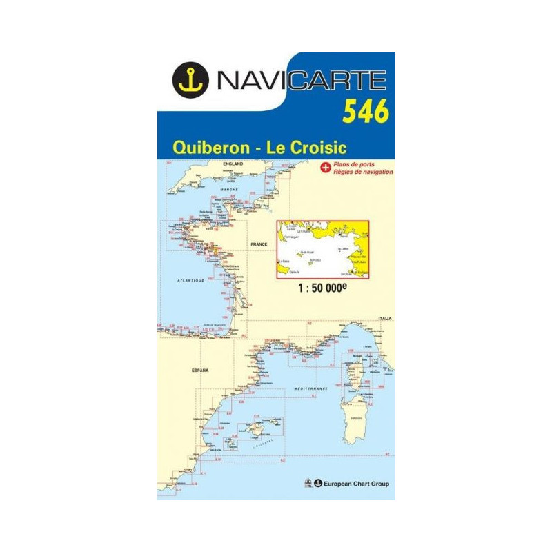
Navigate the South Brittany coast with confidence using the Marine Chart Navicarte 546, covering the vital stretch from Quiberon to Le Croisic with access to the islands of Houat and Hoëdic and the entrance to the Gulf of Morbihan. Its 1:50 000 scale, clear colour coding and detailed port plans make route planning fast and intuitive, while soundings in metres and bathymetry sourced from SHOM support precise, real‑world decision‑making. Printed on durable, water‑resistant paper you can write on, this foldable chart is a dependable backup to onboard electronics and an everyday piloting essential for sailors, motorboaters and anglers. Available at Stratosens.com.
At Stratosens.com you get a carefully curated, metric‑first chart trusted by local skippers, backed by specialist advice and careful packaging for delivery. Combine this chart with our selection of compasses, plotters and weather instruments to build a reliable navigation setup that keeps you in control from planning to landfall.
No customer reviews for the moment.