












- New

Your Meteorology and Precision Instrumentation shop
Your Meteorology and Precision Instrumentation shop
 Payments 100% Safe
 Delivery in 5-7 labour days
 Money back Guarantee
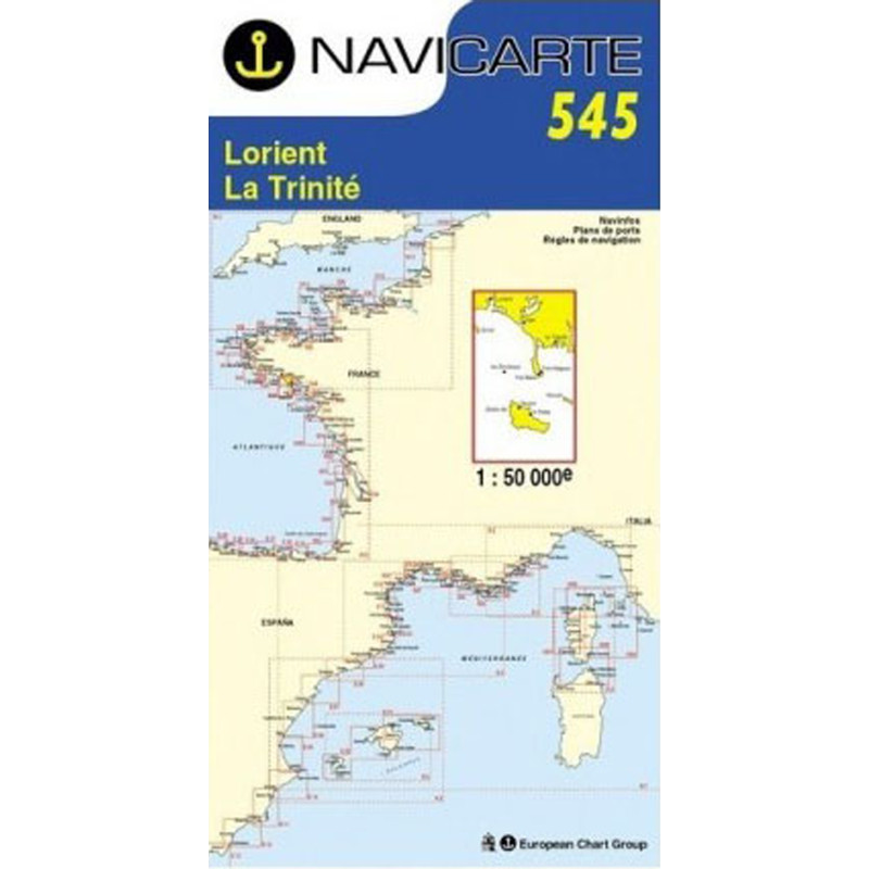
Navigate Quiberon Bay with confidence using the Navicarte 545, the essential paper nautical chart covering Lorient, La Trinité-sur-Mer, Belle-Île and Houat. Designed for reliable coastal piloting, it combines a clear colour scheme, SHOM-derived bathymetry and WGS 84 GPS compatibility on durable, water‑resistant paper. Whether you are planning a weekend cruise, a regatta approach or a fishing sortie, this chart delivers the detail and readability you need, now available from Stratosens.com.
Combining trusted SHOM‑based data, GPS‑ready cartography and robust paper built for real‑world conditions, Navicarte 545 gives skippers the confidence to explore Lorient, La Trinité and the surrounding islands efficiently and safely. Order from Stratosens.com to enjoy expert support, carefully curated navigation equipment and fast fulfilment tailored to maritime professionals and demanding enthusiasts.
No customer reviews for the moment.