












- New
Your Meteorology and Precision Instrumentation shop
Your Meteorology and Precision Instrumentation shop
 Payments 100% Safe
 Delivery in 5-7 labour days
 Money back Guarantee
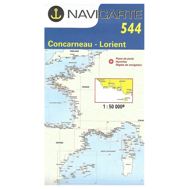
Nail every approach along South Brittany with the Navicarte 544 marine chart, purpose‑built for the coastal waters between Concarneau and Lorient. Designed for skippers who demand clarity and reliability, this chart delivers a crisp visual layout, intuitive symbology and high‑contrast colours that keep essential information readable at a glance. Whether you are planning a coastal passage, entering harbour under sail, or keeping a trusted backup to your plotter, Navicarte 544 provides the dependable detail you need for safe decision‑making. Choose this chart at Stratosens.com to equip your boat with a professional‑grade navigation aid that is easy to read, durable and ready for real‑world use.
At Stratosens.com you get a carefully curated, genuine Navicarte 544 chart backed by specialists in weather and precision instruments. We prioritise product authenticity, robust packaging and fast dispatch, so your chart arrives ready for immediate use. Need help choosing complementary navigation tools or safety gear? The team at Stratosens.com offers knowledgeable, practical advice to keep your navigation sharp and your crew confident from Concarneau to Lorient and beyond.
No customer reviews for the moment.