










To give you the best possible experience, this site uses cookies. Using your site means your agree to our use of cookies. We have published a new cookies policy, which you should need to find out more about the cookies we use. View Cookies Policy.
Buy Marine Binoculars Levenhuk Nelson 7x50 - Stratosens.comMarine Binoculars Levenhuk Nelson 7x50
  • New
€189.95
Buy Monocular Levenhuk Wise Pro 10x50 - Stratosens.comMonocular Levenhuk Wise Pro 10x50
  • New
€129.95
Buy Spotting Scope Levenhuk Blaze Plus 90 - Stratosens.comSpotting Scope Levenhuk Blaze Plus 90
  • New
€319.95
Buy Digital Monocular Levenhuk Kelvin Snap ED 8x42 - Stratosens.comDigital monocular Levenhuk Kelvin Snap ED 8x42
  • New
Buy Digital Monocular Levenhuk Kelvin Snap 8x25 - Stratosens.comDigital monocular Levenhuk Kelvin Snap 8x25
  • New
€159.95
  • New
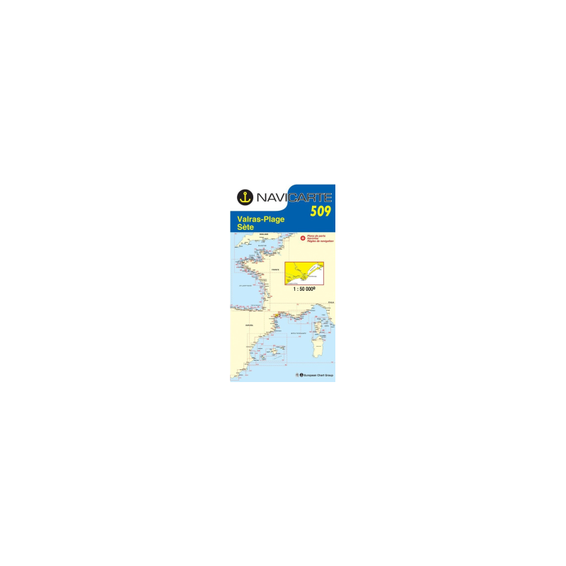
Marine Chart Navicarte 509 - Valras, Sete

Marine Chart Navicarte 509 - Valras, Sete

Review (0)
€24.95
Tax Included
Delivery in 5-7 labour days
Quantity :
  • Payments 100% SafePayments 100% Safe
  • Delivery in 5-7 labour daysDelivery in 5-7 labour days
  • Money back GuaranteeMoney back Guarantee

Marine Chart Navicarte 509 – Valras, Sète, Étang de Thau

Navigate the French Mediterranean with confidence using the Navicarte 509 – Valras, Sète, Étang de Thau. Designed for coastal cruising, fishing and regattas along the Languedoc coast, this chart highlights hazards and navigational information with crystal-clear colour coding, helping you make faster, safer decisions at the helm. Printed on water‑resistant paper and reissued periodically to reflect changes at sea and in port, it brings the trusted clarity of SHOM-sourced data to your chart table. Choose a chart that is readable, durable and made for real skippers—ready to go the distance with Stratosens.com.

Key Benefits and Applications

  • Clear coastal coverage – Focused on the Valras–Sète shoreline and the Étang de Thau lagoon, ideal for day passages, harbour approaches and local exploration with immediate visual comprehension of risks and routes.
  • Fast decision‑making at sea – Colour‑coded hazards, depths and light sectors let you interpret the area at a glance, reducing workload on deck and improving situational awareness in busy approaches.
  • Port‑ready planning – Includes detailed plans of the principal harbours in the sector to streamline mooring choices, fuel stops and provisioning without guesswork.
  • Built for real conditions – Water‑resistant printing resists spray and frequent folding, providing dependable durability for the cockpit, dinghy or chart table.
  • Trusted hydrographic source – Bathymetric information derived from official French hydrography supports confident routeing for sailing yachts, motorboats and professional users alike.
  • GPS‑friendly referencing – Compatible geodetic reference ensures straightforward cross‑checking with onboard instruments while retaining all the reliability of paper back‑up.

Featured technical specifications

  • Chart number and area – Navicarte 509 covering Valras, Sète and Étang de Thau on the French Mediterranean, Gulf of Lion sector.
  • Scale – 1:50 000 for precise coastal navigation and harbour approaches with fine inshore detail.
  • Data origin – Bathymetric and navigational data derived from SHOM documents, presented with enhanced readability for pleasure craft.
  • Folded format – Approximately 165 × 315 mm for compact storage and easy handling on small chart tables.
  • Unfolded size – Approximately A0, 118.9 × 84.1 cm, offering a large, legible navigation surface.
  • Printing and material – Water‑resistant paper designed to withstand spray, humidity and repeated folding.
  • Depth units – Soundings expressed in metres (m) to match European standards.
  • Projection and referencing – GPS‑compatible geodetic reference (WGS 84 compatibility) for straightforward position plotting.
  • Harbour insets – Detailed plans of the main ports within the charted sector to support safe entries and berth selection.
  • Edition policy – Periodically reissued to incorporate the most recent corrections and local changes.
  • Language – Chart legends and notes in French, with standard international symbology for quick recognition.
  • Product identification – EAN 3347571205098 for inventory and catalogue reference.

Why this chart is the perfect choice for your navigation

When you order the Navicarte 509 from Stratosens.com, you get a carefully curated chart that balances official data with exceptional readability and robust construction. Our team prioritises accuracy, European‑standard units and dependable delivery so you can plan, sail and arrive with confidence. Equip your boat with a chart that works as hard as you do—choose Navicarte 509 at Stratosens.com.

105120502

No customer reviews for the moment.

Write your review
Marine Chart Navicarte 509 - Valras, Sete
Buy Marine Chart Navicarte 509 Valras Sete - Stratosens.com

Marine Chart Navicarte 509 - Valras, Sete

€24.95
Tax Included
Delivery in 5-7 labour days