










To give you the best possible experience, this site uses cookies. Using your site means your agree to our use of cookies. We have published a new cookies policy, which you should need to find out more about the cookies we use. View Cookies Policy.
Buy Marine Binoculars Levenhuk Nelson 7x50 - Stratosens.comMarine Binoculars Levenhuk Nelson 7x50
  • New
€189.95
Buy Monocular Levenhuk Wise Pro 10x50 - Stratosens.comMonocular Levenhuk Wise Pro 10x50
  • New
€129.95
Buy Spotting Scope Levenhuk Blaze Plus 90 - Stratosens.comSpotting Scope Levenhuk Blaze Plus 90
  • New
€319.95
Buy Digital Monocular Levenhuk Kelvin Snap ED 8x42 - Stratosens.comDigital monocular Levenhuk Kelvin Snap ED 8x42
  • New
Buy Digital Monocular Levenhuk Kelvin Snap 8x25 - Stratosens.comDigital monocular Levenhuk Kelvin Snap 8x25
  • New
€159.95
  • New
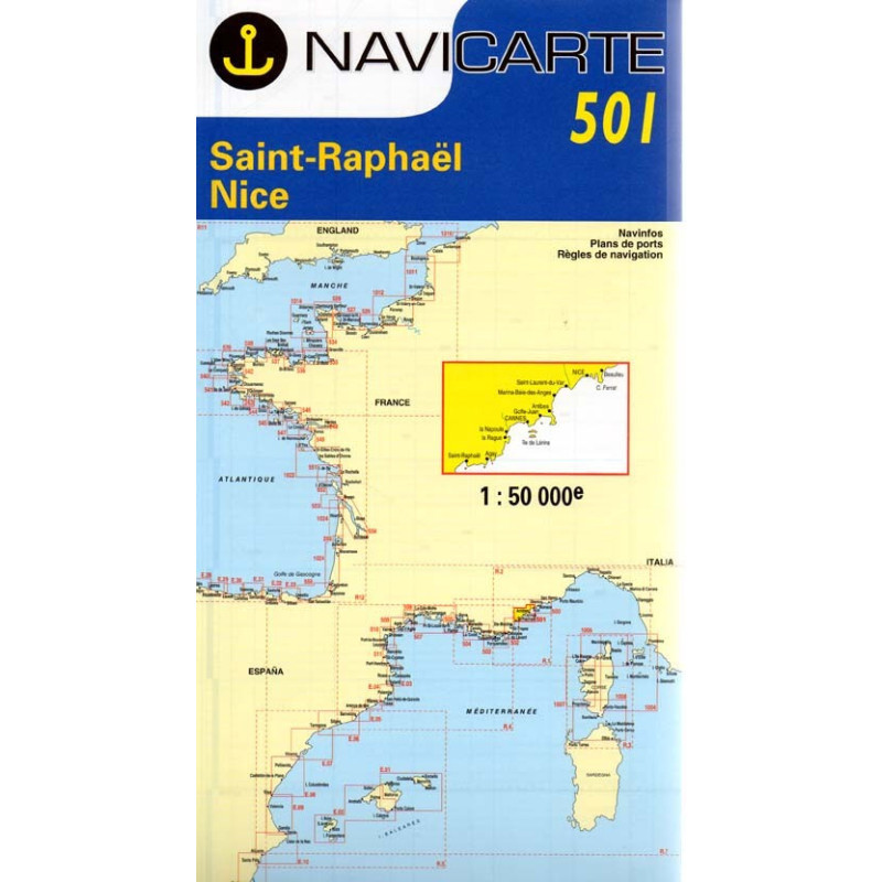
Marine Chart Navicarte 501 - St-Raphael, Nice

Marine Chart Navicarte 501 - St-Raphael, Nice

Review (0)
€24.95
Tax Included
Delivery in 5-7 labour days
Quantity :
  • Payments 100% SafePayments 100% Safe
  • Delivery in 5-7 labour daysDelivery in 5-7 labour days
  • Money back GuaranteeMoney back Guarantee

Marine Chart Navicarte 501 — Saint‑Raphaël to Nice

Navigate the Côte d’Azur with confidence using the Navicarte 501 coastal chart covering Saint‑Raphaël to Nice. Designed for skippers who demand clarity and reliability, this chart delivers a clean layout, crisp symbology and thoughtfully chosen details for safe coastal passages, harbour entries and day cruising along the French Riviera. From the rugged Estérel cliffs to the calm waters around Cannes, Antibes and the Bay of Nice, it brings together the information you need at a glance so you can make faster decisions on deck. Available from Stratosens.com, it is the ideal paper companion to your electronics for planning, pilotage and redundancy at sea.

Key Benefits and Applications

  • Confident coastal navigation — Clear shoreline depiction, headlands and landmarks help you visualise the route and identify key turning points along one of Europe’s busiest leisure coasts.
  • Faster harbour approaches — Approaches to the principal marinas and ports are highlighted to simplify entry in daylight or at dusk, reducing workload when you are close to hazards or traffic.
  • Immediate depth awareness — Soundings and contouring in metres provide quick insight into safe water, shoals and anchorages, supporting prudent decisions when choosing a track or a stop.
  • Reliable backup to electronics — A robust paper reference remains usable during power losses or sensor issues, ensuring your crew maintains situational awareness at all times.
  • Efficient passage planning — Ample space for pencil notes lets you pre‑plot waypoints, courses and alternatives, making it easier to brief the crew and adapt to changing weather.
  • Training and charter ready — Intuitive icons and a clean layout suit sailing schools and mixed‑experience crews, reinforcing good navigation routines on board.

Featured technical specifications

  • Geographic coverage — Coastal sector from Saint‑Raphaël to Nice on the French Riviera, including the Estérel coast, Golfe de la Napoule, Îles de Lérins, Cap d’Antibes, Baie des Anges, Villefranche‑sur‑Mer and Cap‑Ferrat.
  • Soundings and heights — Depths and vertical clearances expressed in metres for seamless use across Spain and Europe.
  • Geodetic reference — Coordinates referenced to WGS 84, aligning with modern GNSS receivers for accurate plotting.
  • Buoyage and lights — IALA Region A symbols with light characteristics and sectors clearly presented for quick recognition during pilotage.
  • Harbour and approach detail — Practical information for entries to major local ports such as Saint‑Raphaël/Fréjus, Cannes, Antibes (Port Vauban) and Nice to support safe manoeuvres.
  • Readability at sea — High‑contrast cartography and thoughtful colour use improve legibility in bright Mediterranean conditions and low‑angle sun.
  • Chart construction — Durable chart stock suitable for cockpit use with protective covers, designed to withstand regular folding, annotation and frequent handling.
  • Plotting and measurement — Clear latitude–longitude grid and scales support precise bearings, cross‑checks and course shaping with traditional navigation tools.

Why this chart is the perfect choice for your cruising plans

Choosing the Navicarte 501 from Stratosens.com means you get a carefully curated chart for one of the Mediterranean’s most dynamic stretches of coastline, backed by specialist support and fast shipping. Combine it with your plotter for layered situational awareness, or rely on it as a dependable primary reference during training and charter. With expert selection, attentive service and a focus on precision instruments, Stratosens.com is the smart place to equip your boat for safe, enjoyable cruising between Saint‑Raphaël and Nice.

105120501

No customer reviews for the moment.

Write your review
Marine Chart Navicarte 501 - St-Raphael, Nice
Buy Marine Chart Navicarte 501 St Raphael Nice - Stratosens.com

Marine Chart Navicarte 501 - St-Raphael, Nice

€24.95
Tax Included
Delivery in 5-7 labour days