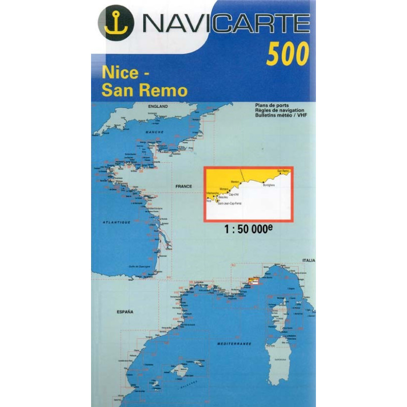
Marine Chart Navicarte 500 – Nice, San Remo
Navigate the French–Italian Riviera with confidence using the Navicarte 500 – Nice to San Remo, a professional-grade nautical chart designed for precise coastal piloting between Nice, Monaco, Menton, Ventimiglia and San Remo. Engineered for clarity and reliability, it delivers crisp hydrographic detail, clean symbology and practical annotations that make route planning faster and safer. Depths are expressed in metres, navigation marks follow IALA Region A standards and the geodetic reference is WGS 84, ensuring seamless use alongside modern GPS and onboard instruments. Ideal for sailing yachts, motor cruisers and regatta support, this chart is a dependable companion from sheltered bays to open-water passages.
Key Benefits and Applications
- Precision coastal coverage – Focused on the busy Côte d’Azur and Ligurian shoreline, it supports accurate nearshore navigation, harbour approaches and short coastal hops in varying conditions.
- Fast, confident decisions – Clear depth shading, legible soundings and well-placed notes help you assess under-keel clearance, hazards and safe water at a glance, reducing workload on the helm.
- Harbour-ready guidance – Detailed approaches to major marinas and anchorages around Nice, Monaco, Menton and San Remo streamline arrivals, berth planning and anchoring choices.
- Perfect for mixed fleets – Equally useful for sailing schools, charter crews and private owners, from day-sailing itineraries to delivery passages along the Riviera.
- Seamless GPS integration – A clear latitude–longitude grid and WGS 84 reference let you plot fixes from onboard instruments quickly and accurately.
- Reliable at-a-glance symbology – International chart symbols and IALA Region A marks present lights, buoys and beacons consistently for safer night and day navigation.
Featured technical specifications
- Geographic coverage – Coastal stretch from Nice to San Remo including Monaco, Menton and the approaches to key Riviera harbours and anchorages.
- Datum and projection – Referenced to WGS 84 on a marine-standard projection for accurate plotting with contemporary receivers.
- Depth presentation in SI units – Soundings and contours in metres with intuitive depth shading to visualise safe water and shoal areas.
- Navigation aids in IALA Region A – Lateral and cardinal marks, lights, sectors and ranges depicted according to European standards for immediate recognition.
- Coordinate grid – Clearly graduated latitude and longitude grid supports rapid position fixing, dead reckoning and cross-checking with electronic systems.
- Coastal detail – Shoreline features, headlands, underwater obstructions, restricted zones and recommended anchoring areas presented with high legibility.
- Harbour and approach clarity – Fine-scale detail around principal marinas and commercial basins to assist entry, pilotage and berth selection.
- Compass roses and variation – Printed compass roses with magnetic variation and annual change indicators to maintain precise headings.
- International symbology – Uses INT 1 chart symbols for broad understanding by multinational crews and training environments.
- Cockpit-friendly format – Durable, foldable chart layout designed for frequent handling and quick reference on deck or at the chart table.
Why this chart is the perfect choice for your navigation
Choose the Navicarte 500 at Stratosens.com to equip your vessel with a carefully curated, professional navigation tool that blends precision, clarity and practical coastal detail. At Stratosens.com you benefit from expert selection, reliable quality and a seamless purchasing experience, so you can focus on safe passages and memorable cruising along one of the Mediterranean’s most iconic coastlines.














 Payments 100% Safe
 Delivery in 5-7 labour days
 Money back Guarantee